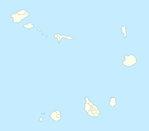
Chã das Caldeiras
dëkk bu nekk ci Kap Verdi
Chã das Caldieras benn dekk-dëkkaan Santa Catarina do Fogo ci yu penku yu nekku Fogo, Kap Weer.

| Chã das Caldeiras | |
|---|---|
 | |
| Tus-wu: 14°58′16″N 24°16′01″W / 14.971°N 24.267°W | |
| Réew | Kap Weer |
| Diiwaan | Santa Catarina do Fogo |
| way-dëkk | 697[1] nit |
| atum way-dëkk | 2 010 |
Dencukaay
SoppiTeerekaay
Soppi- Michel Lesourd (dir.), « Cova Figueira », Le Cap-Vert, Éd. du Jaguar, Paris, 2006, p. 136-40 (fr) ISBN 978-2-86950-408-0
- Isildo Gomes et al., Endemic plants and indigenous trees of the Cape Verde islands, Ministry of Environment, Agriculture and Fishery and the Projects « Conservation and Exploration of the Natural Resources on the Island Fogo » (Deutsche Gesellschaft für Technische Zusammenarbeitand) and « Conservation of Biodiversity », 2003 (en)
- Michel Lesourd, État et société aux îles du Cap-Vert : alternatives pour un petit État insulaire, Karthala, Paris, 1996, p. 86-87 (fr) ISBN 2-86537-625-7
- Map of Fogo Brava 1:60.000, Attila-Bertalen-Kartenverlag, Karlsruhe, 2002, ISBN 3-934262-03-1
Karmat ak delluwaay
SoppiLëkkalekaay yu biti
Soppi|
Xool it Wikimedia Commons
|
- Fogo, Global Volcanism Program (en), 7 awril 2012
- Observatório Vulcanológico de Cabo Verde (OVCV) (en)
- "Chã das Caldeiras: 158 alunos recebem kits escolare", A Semana (pt), 23 oktobaar 2010
- "Primeiro-ministro promete energia para Chã das Caldeiras, Fogo, até 2016", RTC, (pt), 13 juwin 2011
