Dencukaay:Greater London UK location map 2.svg

Taille de cet aperçu PNG pour ce fichier SVG : 750 × 600 pixel. Yeneen ñawaay: 300 × 240 pixel • 600 × 480 pixel • 960 × 768 pixel • 1 280 × 1 024 pixel • 2 560 × 2 048 pixel • 1 425 × 1 140 pixel.
réyal nataal bi (Dencukaay SVG, kem bu jaadu 1 425 × 1 140 pixel, dayoo dencukaay bi: 2,18 Mio)
| Faramfacce |
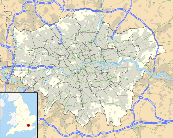
Map of Greater London, UK with the following information shown:
The data includes both primary routes and railway lines. Equirectangular map projection on WGS 84 datum, with N/S stretched 160% Geographic limits:
|
| Taariix | |
| Gongikuwaay |
|
| Aji-jëf | Nilfanion, created using Ordnance Survey data |
| Sañal (Njëfandikoowaatu bii dencukaay) |
Jàppandeeb bii dencukaay a ngi aju ci sañal gu Creative Commons Féetale-Séddoo ci gennug anam 3.0 Unported Moomale: Contains Ordnance Survey data © Crown copyright and database right
|
| Autres versions | File:Greater London UK district map (blank).svg - Blank map, File:Greater London UK location map.svg - excluding primary routes and railways |
.svg)
Jaar-jaaru dencukaay bi
Cuqal cib taariix/waxtu ngir gis ni dencukaay bi meloon ca jamono jooju.
| Taariix ak Waxtu | Tuutal | Dayoo | Jëfandikukat | Saraa | |
|---|---|---|---|---|---|
| teew | 5 Oktoobar 2010 à 17:43 | | 1 425 × 1 140 (2,18 Mio) | Nilfanion | {{Information |Description=Map of Greater London, UK with the following information shown: *Administrative borders *Coastline, lakes and rivers *Roads and railways *Urban areas The data includes both primary routes and railway lines. |
Xët yi am wii ŋara
Xët wii ci suuf ëmb na wii ŋara
Fépp fees jëfandikoo dencukaay bi
Yeneen wiki yiy toftal dañuy jëfandikoo itam bii dencukaay:
- Jëfandikoo nañu ko ci af.wikipedia.org
- Londense Tower
- Westminster-abdy
- Twickenham
- Greenwich (Londen)
- Penge (Londen)
- Paleis van Westminster
- Canary Wharf
- St John's Wood
- Marylebone
- Stratford, Londen
- Queen Elizabeth Olympic Park
- Sjabloon:Liggingkaart Groter Londen
- Leyton
- Charing Cross
- Lughawe Londen-Heathrow
- Strand, Londen
- Muswell Hill
- London City-lughawe
- Dulwich Village
- Hampstead
- Silvertown
- Shoreditch
- Islington
- Clerkenwell
- Holland Park
- Soho
- Chelsea, Londen
- Southwark
- Hackney Central
- Notting Hill
- Paddington
- Crouch End
- Highgate
- Primrose Hill
- Bloomsbury
- Camden Town
- Spitalfields
- Vauxhall
- Holborn
- Kensington
- Battersea
- Belgravia
- Limehouse
- Bishopsgate
- Jëfandikoo nañu ko ci ar.wikipedia.org
Wone njëfandikoo gu daj gu bii dencukaay.